AIS & Communications

AIS & Communications

The twin pillars on which every VTS decision rests

AIS builds the picture, communications make it actionable.

No traffic management service can function without two inseparable elements: a continuous, reliable stream of vessel identification and position data, and a two-way communication channel between the VTS Centre and every vessel in its area.
Together they turn passive observation into active traffic management, the essential precondition for the three VTS functions defined by IMO A.1158(32)

Data and dialogue

What each pillar contributes to the operational picture
AIS

Pillar 1

Radio Communications

Pillar 2

AIS - The shared traffic picture

Pillar 01 · Automatic Identification System

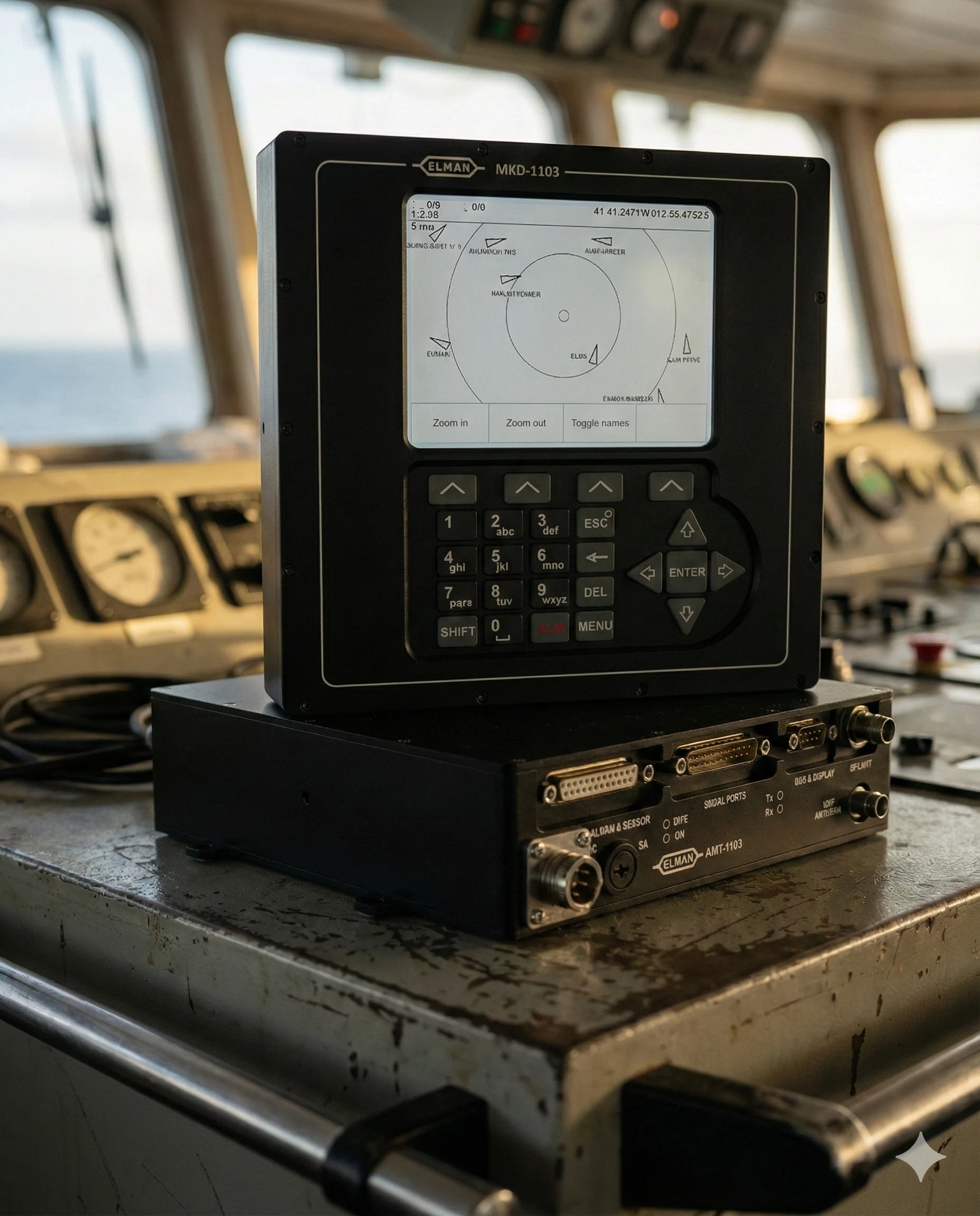
AIS is a VHF transponder system that automatically and continuously broadcasts each vessel's identity, position and voyage data to nearby ships and to the VTS shore stations. It is the primary feed from which the Centre assembles its situational picture.

Static data

MMSI, call sign, IMO number, ship type and dimensions

Dynamic data

GPS position, course (COG), speed (SOG), heading and rate of turn

Voyage data

draught, destination, ETA and cargo type, including hazardous goods

Class A

mandatory for SOLAS vessels over 300 GT; TDMA transmission every 2–10 s under way

Class B / AtoN / SAR

smaller craft, virtual aids to navigation and rescue units

More

AIS

Pillar 1

Radio Communications

Pillar 2

AIS - The shared traffic picture

Pillar 01 · Automatic Identification System

AIS is a VHF transponder system that automatically and continuously broadcasts each vessel's identity, position and voyage data to nearby ships and to the VTS shore stations. It is the primary feed from which the Centre assembles its situational picture.

Static data

MMSI, call sign, IMO number, ship type and dimensions

Dynamic data

GPS position, course (COG), speed (SOG), heading and rate of turn

Voyage data

draught, destination, ETA and cargo type, including hazardous goods

Class A

mandatory for SOLAS vessels over 300 GT; TDMA transmission every 2–10 s under way

Class B / AtoN / SAR

smaller craft, virtual aids to navigation and rescue units

More

AIS

Pillar 1

Radio Communications

Pillar 2

AIS - The shared traffic picture

Pillar 01 · Automatic Identification System

AIS is a VHF transponder system that automatically and continuously broadcasts each vessel's identity, position and voyage data to nearby ships and to the VTS shore stations. It is the primary feed from which the Centre assembles its situational picture.

Static data

MMSI, call sign, IMO number, ship type and dimensions

Dynamic data

GPS position, course (COG), speed (SOG), heading and rate of turn

Voyage data

draught, destination, ETA and cargo type, including hazardous goods

Class A

mandatory for SOLAS vessels over 300 GT; TDMA transmission every 2–10 s under way

Class B / AtoN / SAR

smaller craft, virtual aids to navigation and rescue units

More

AIS message types used by VTS

Type 1-3

Position Report A

Dynamic data: position, SOG, COG, heading Class A vessels every 2–10s

Type 1-3

Position Report A

Dynamic data: position, SOG, COG, heading Class A vessels every 2–10s

Type 4

Base Station Report

VTS/DGPS base station: UTC time, position - every 10s

Type 4

Base Station Report

VTS/DGPS base station: UTC time, position - every 10s

Type 5

Static & Voyage Data

Vessel name, MMSI, IMO, dimensions, destination, ETA - every 6 min

Type 5

Static & Voyage Data

Vessel name, MMSI, IMO, dimensions, destination, ETA - every 6 min

Type 8

Binary Broadcast

Weather, tidal, AtoN status - broadcast by VTS to all vessels in area

Type 8

Binary Broadcast

Weather, tidal, AtoN status - broadcast by VTS to all vessels in area

Type 14

Safety Message

Free-text safety broadcast: navigational warnings, hazards

Type 14

Safety Message

Free-text safety broadcast: navigational warnings, hazards

Type 17

DGNSS Correction

Differential GPS correction data broadcast by VTS reference station

Type 17

DGNSS Correction

Differential GPS correction data broadcast by VTS reference station

Type 21

AtoN Report

Aid to Navigation position and status — virtual and real buoys

Type 21

AtoN Report

Aid to Navigation position and status — virtual and real buoys

Type 24A/B

Class B Static

Small vessel static data - name, MMSI, call sign

Type 24A/B

Class B Static

Small vessel static data - name, MMSI, call sign

VHF channel assignments

International distress, safety and calling channel - mandatory watch

UK small craft safety channel (Coastguard)

Port operations - secondary VTS working channel

Port operations assigned by port authority

Digital Selective Calling (DSC) - Mayday and distress alerting

Port operations - primary VTS working channel in many ports

Bridge-to-bridge navigation - vessel collision avoidance

Port operations - pilotage and towage coordination

Where the two pillars meet

From separate feeds to a single, trustworthy picture

AIS supplies identity and intent; radar supplies an independent detection that also catches non-cooperative targets: vessels without a transponder, drifting objects. Voice and DSC communications add the authority to act.
Their fusion produces the Recognised Maritime Picture: one coherent, trustworthy view that drives CPA/TCPA collision alerts and every operator decision.

Identity & intent

Identity & intent

Independent detection

Independent detection

Authority to act

Authority to act

Unified operational picture

Unified operational picture